
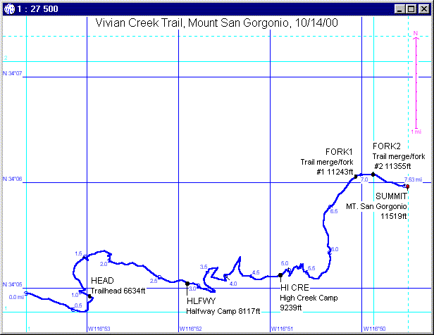
A day hike to the top of Mount San Gorgonio organized by people from the Outdoors Club. Mt. San Gorgonio is the highest mountain in southern California (i.e. south of the Sierras) with a height of 11,502 feet.
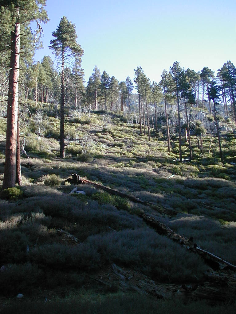
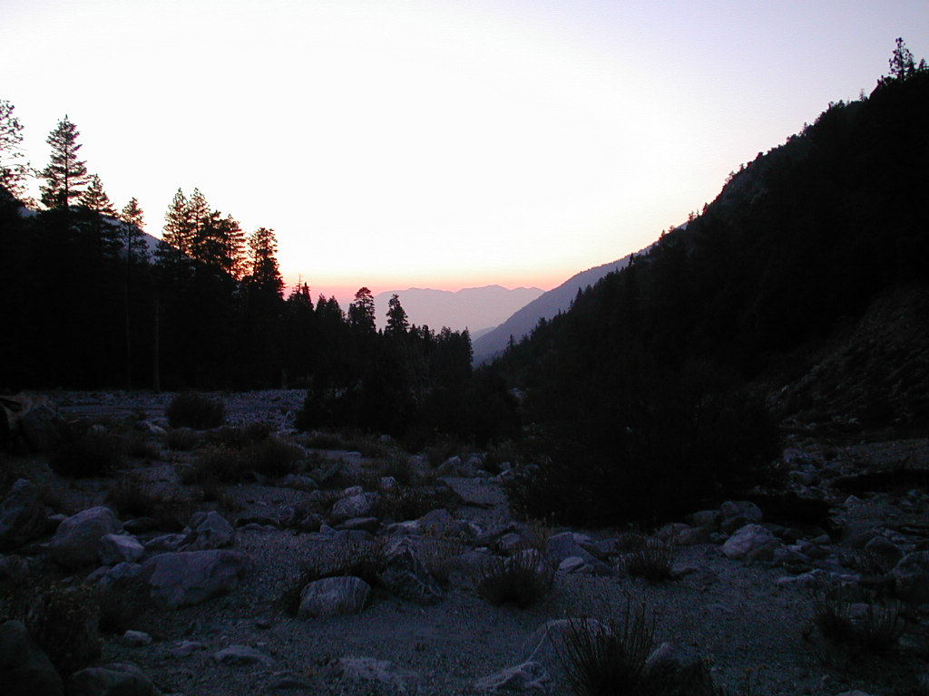
We took the Vivian Creek trail up to the summit and back. The trail starts at the Vivian Creek picknick area at an elevation of 6,080 feet. The distance to the top is 7.8 miles one way with an elevation gain of 5,400 feet. We started at the trailhead at around 7 a.m., reached the summit at 2 p.m., left the top at 3 p.m. and arrived back at the trailhead right at sunset at 6:30 p.m.
Links:
(Click on the thumbnail images to view the full pictures)
|
|
|
|
|
|
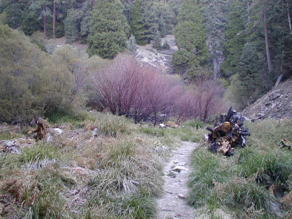
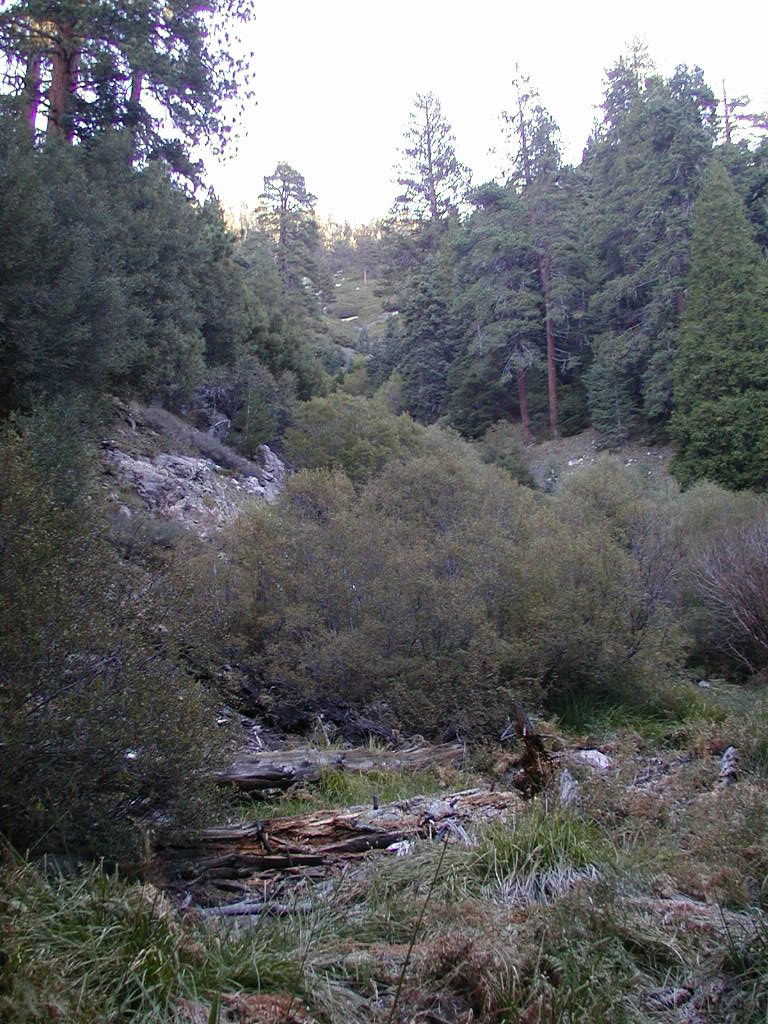
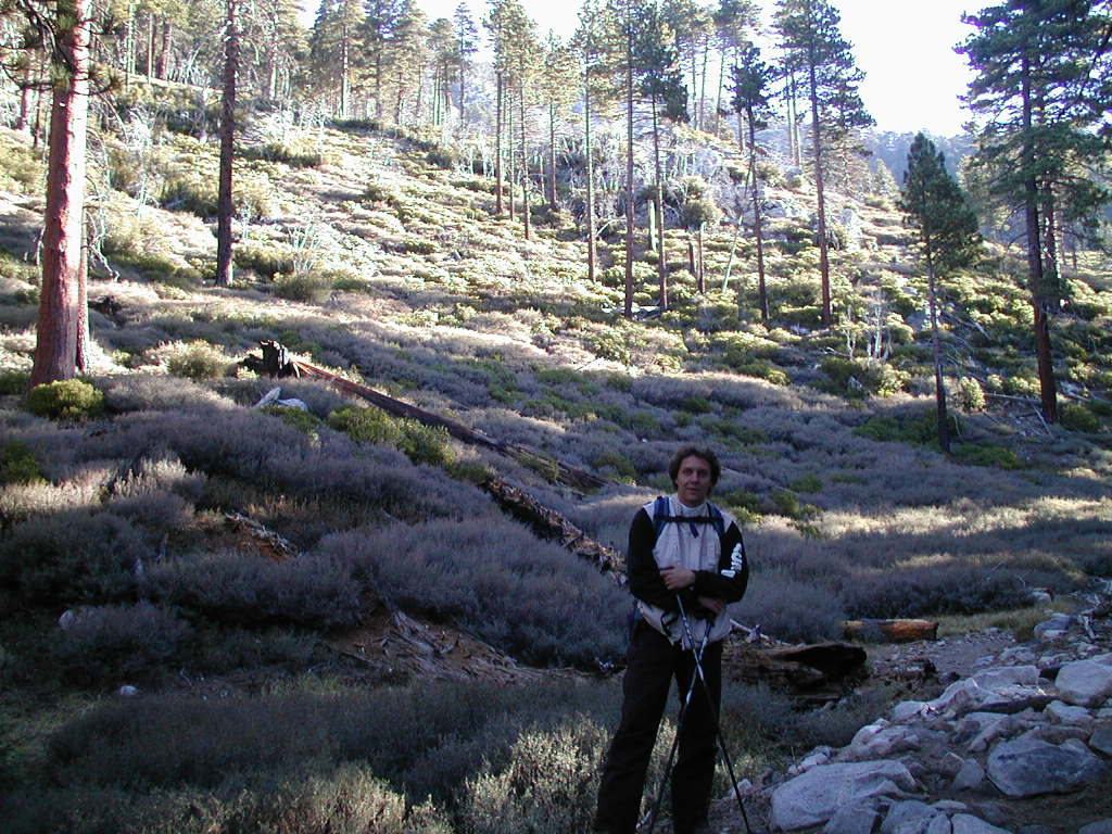
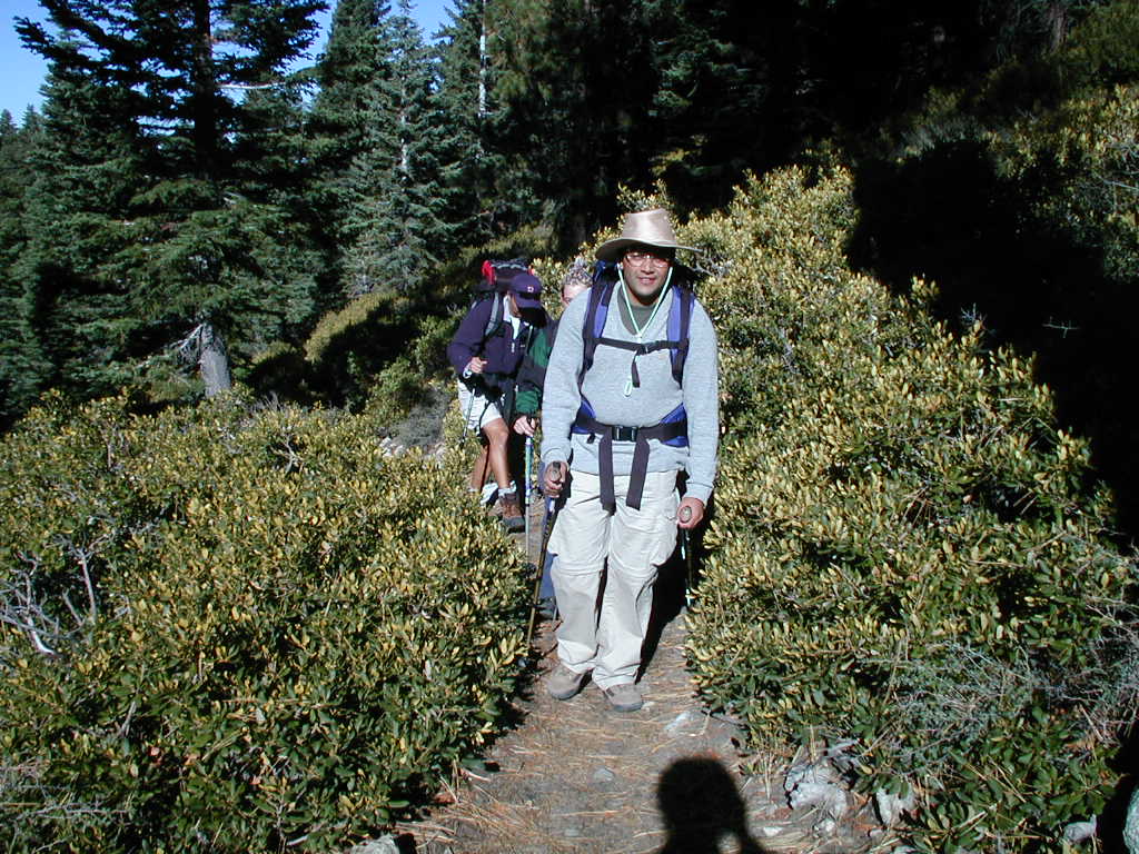
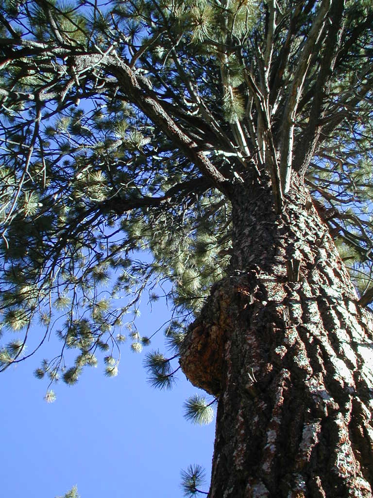
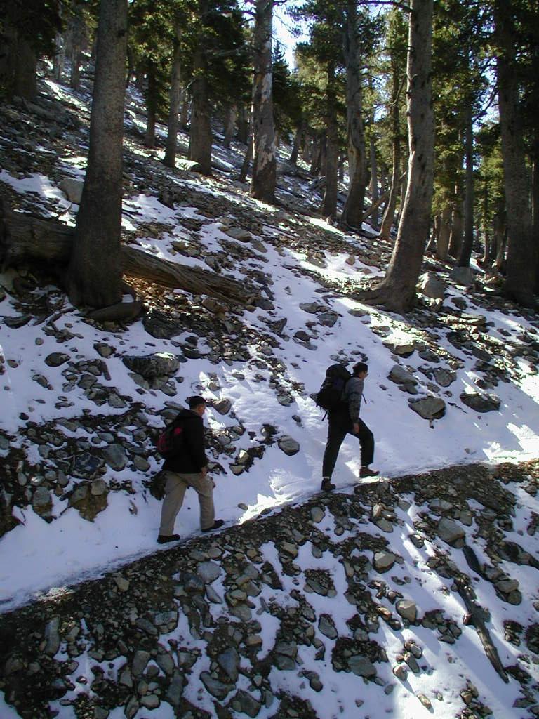
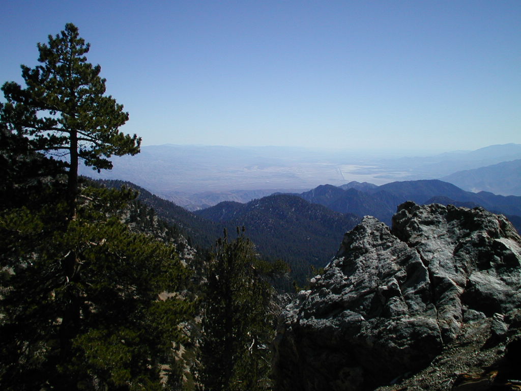
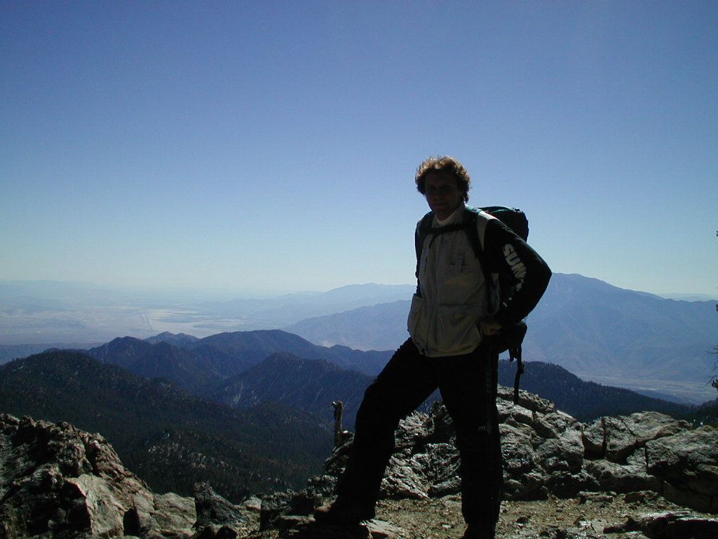
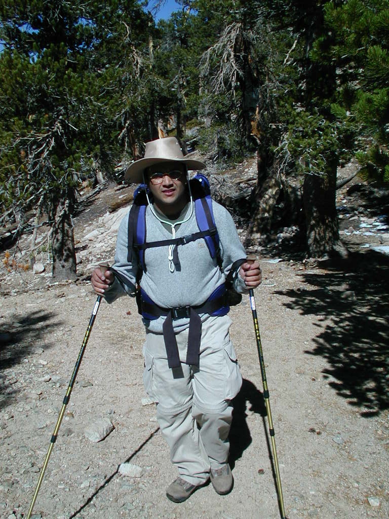
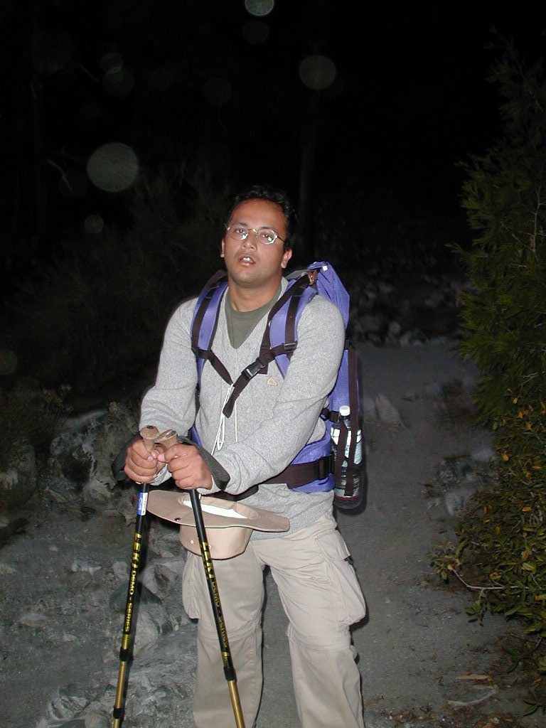
| The Vivian Creek | On the way to Halfway Camp | Me with legs cut off, courtesy of Sumit... | Sumit next to John (from the Outdoors Club) | ||
|
|
|
|
|
|
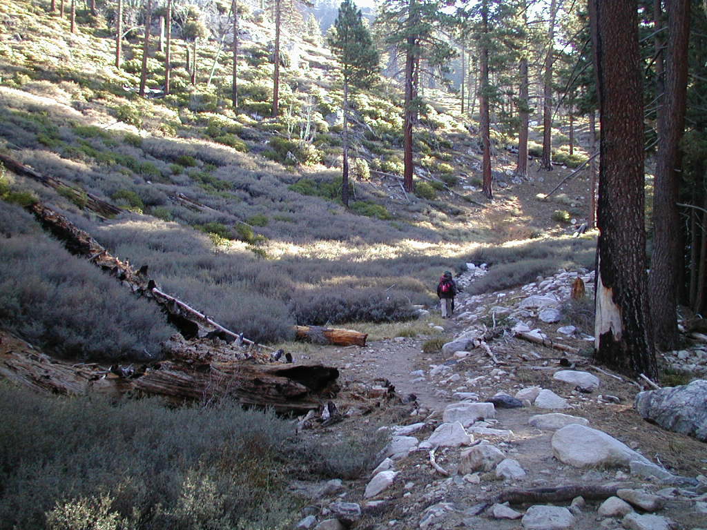
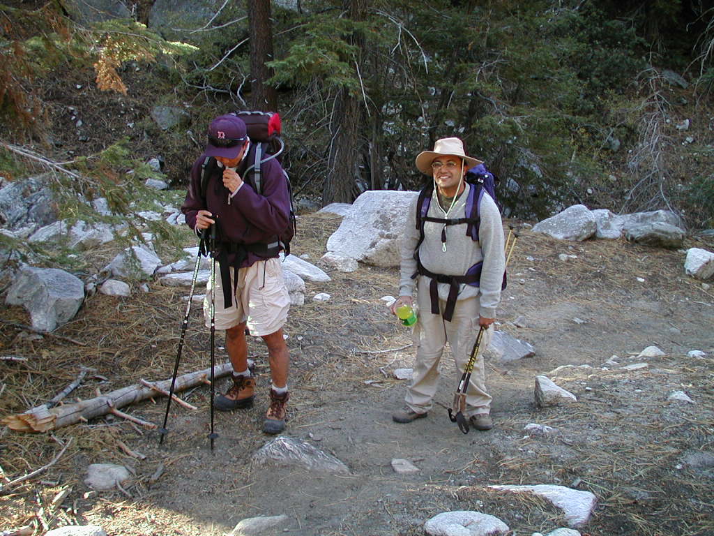
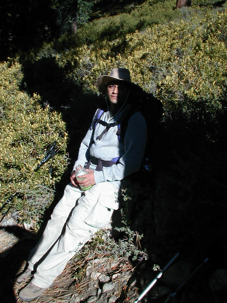
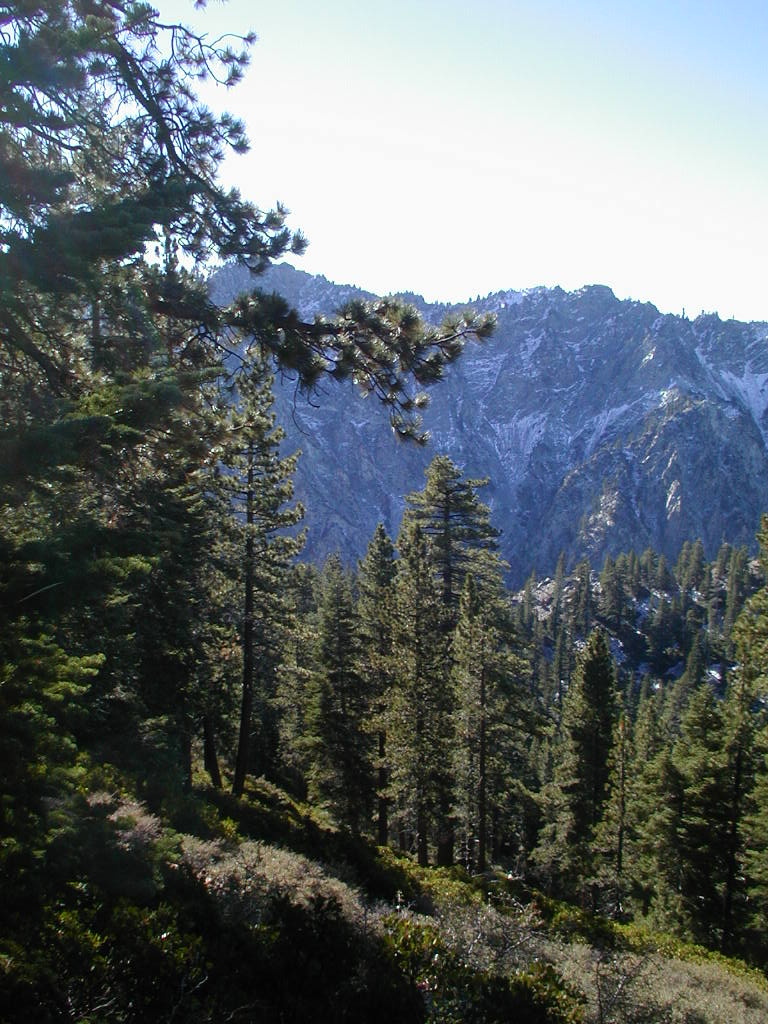
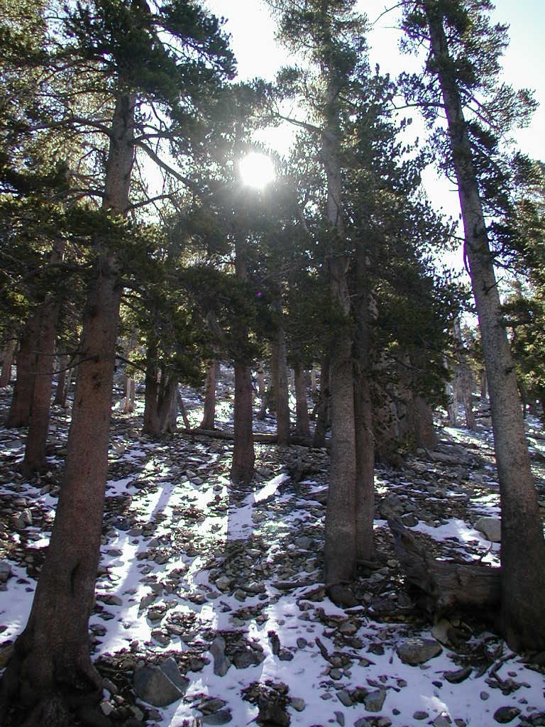
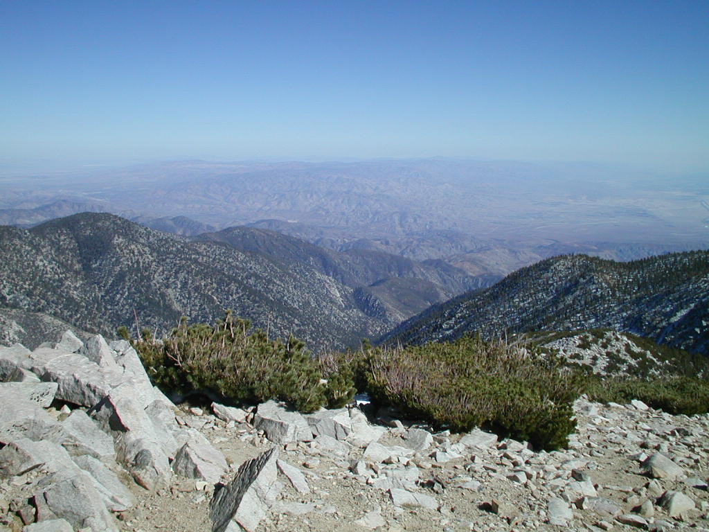
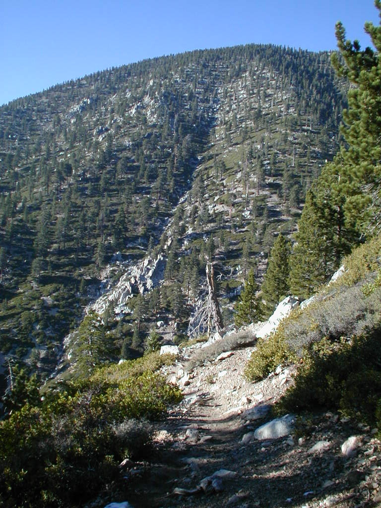
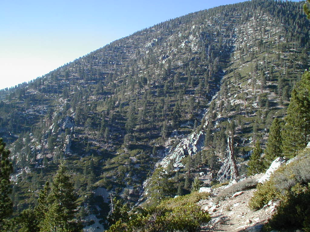
| Resting near Halfway Camp | View on surrounding ridges | The two Russian members of our group | |||
|
|
|
|
|
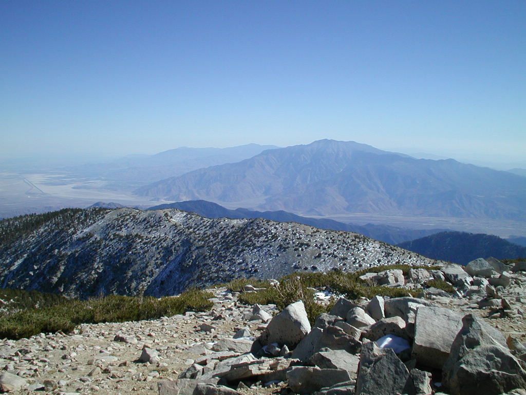
|
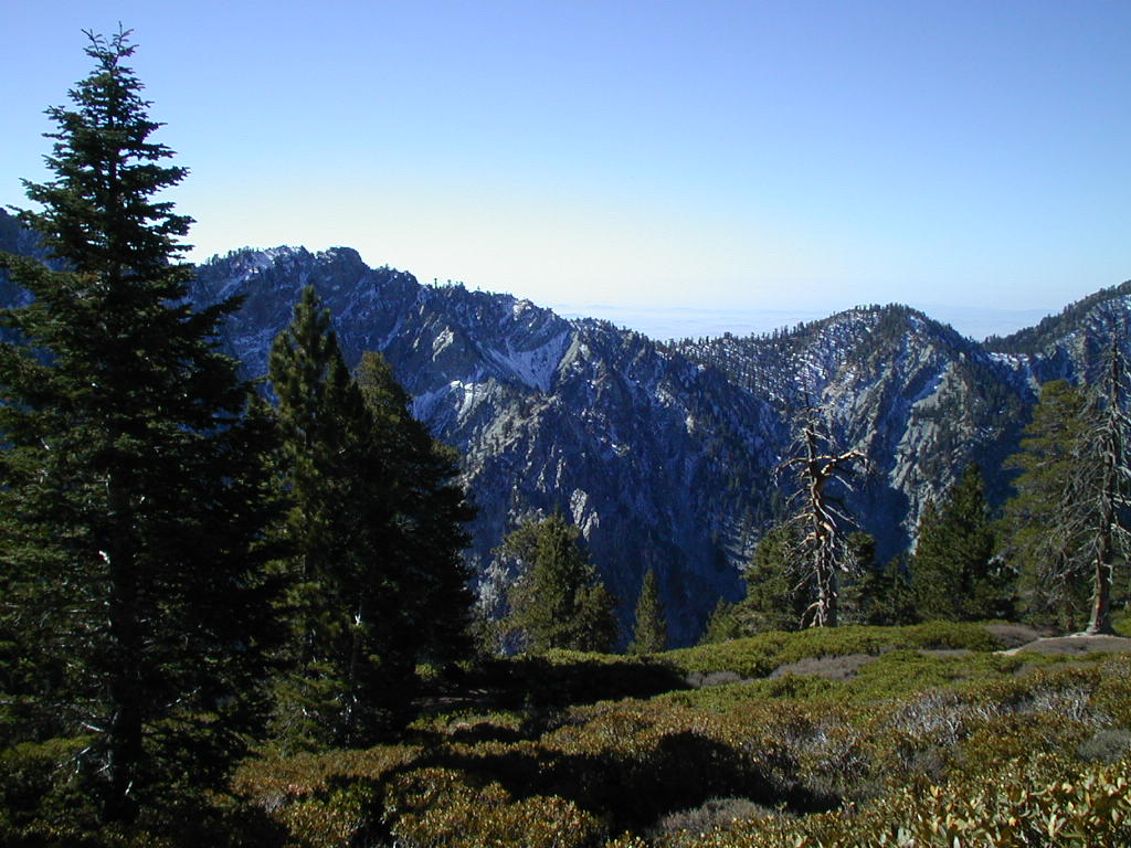
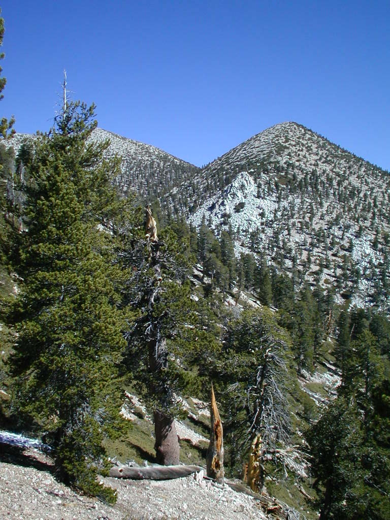
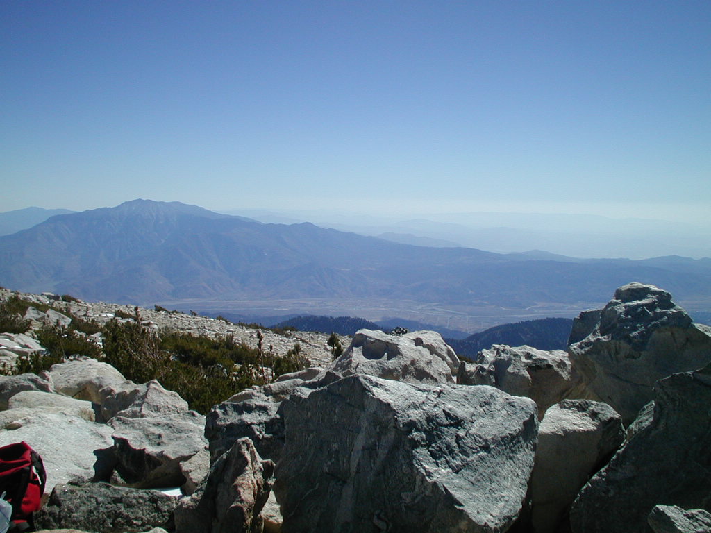
| Snow covered slope... | San Gorgonio peak to the left | View across San Gorgonio/Banning pass onto Mount San Jacinto. Palm Springs (with a tram up to San Jacinto) is down there. | The two hikers with San Jacinto in the background | ||
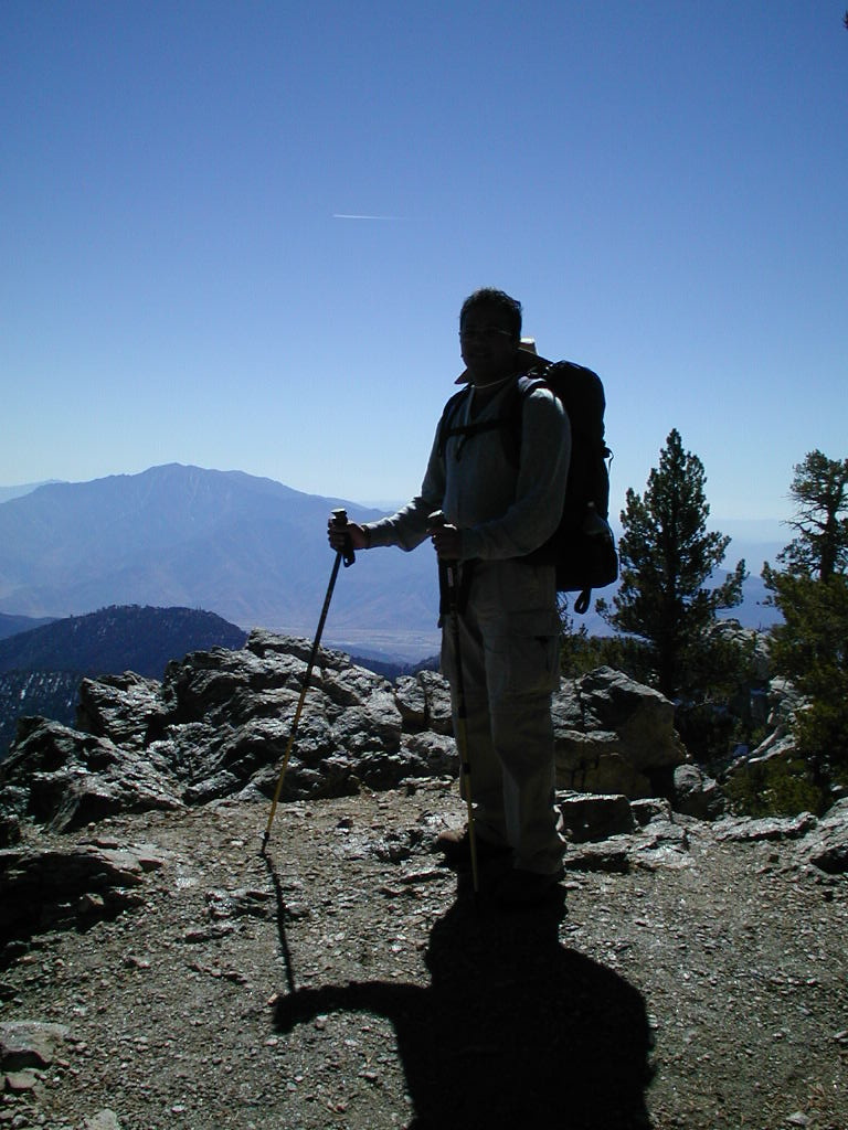
|
|
|
|
|
|
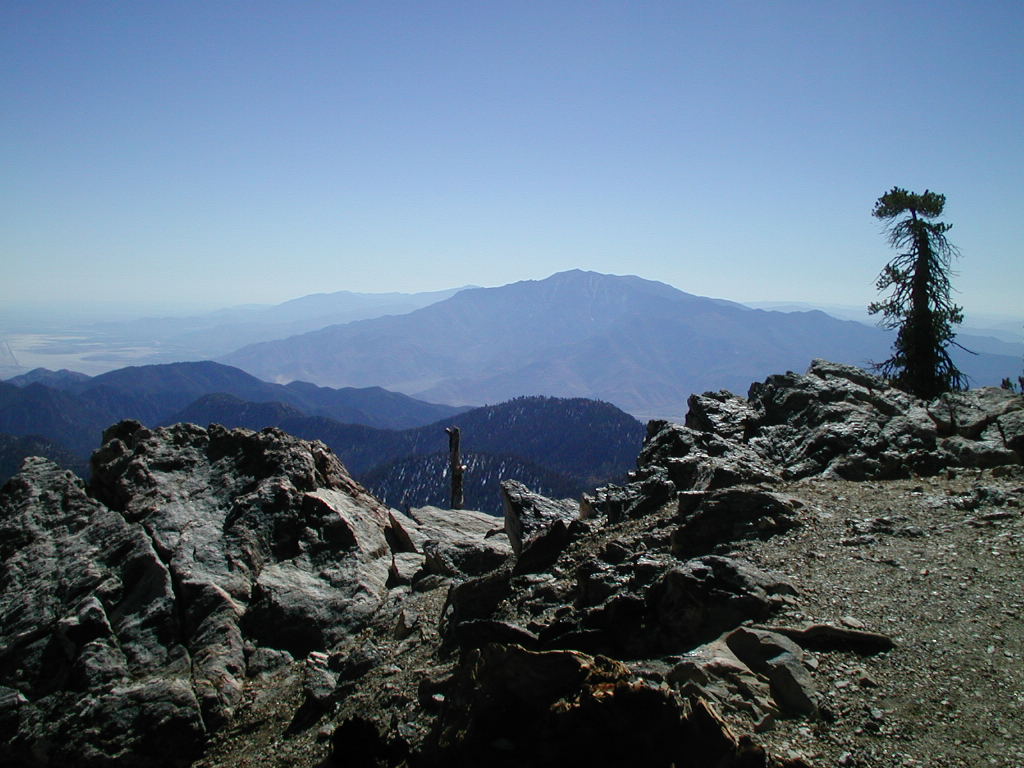
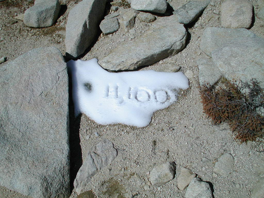
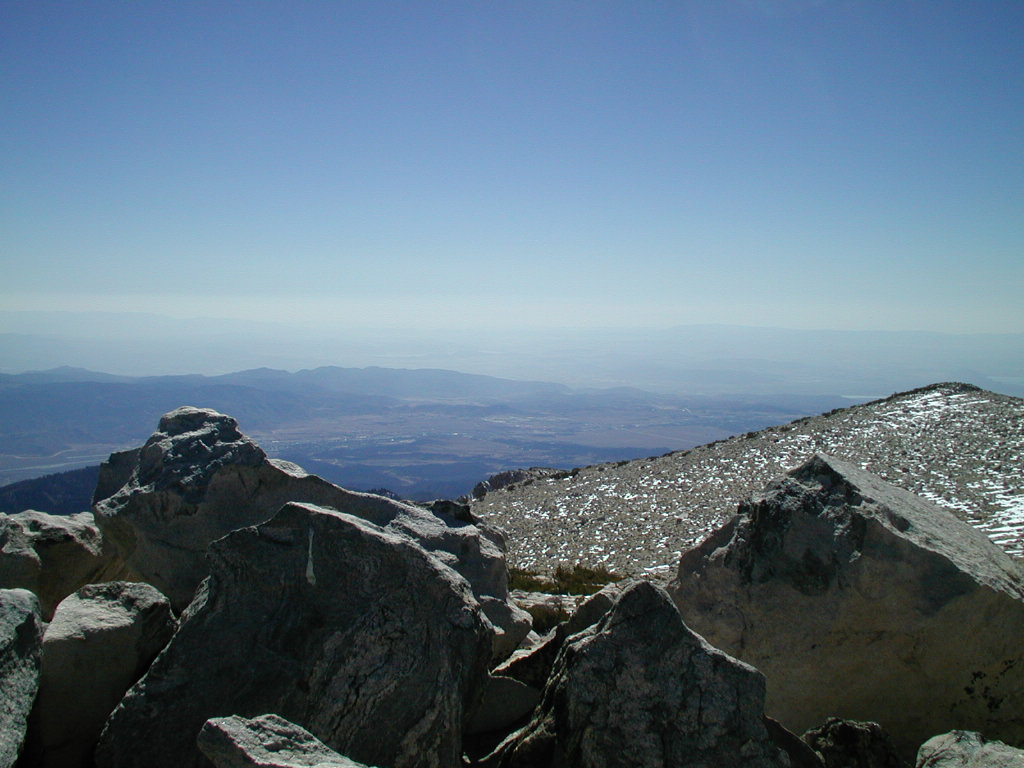
| Sumit dragging himself up the mountain | Almost there (11,100 feet) | View from the top | |||
|
|
|
|
|
|
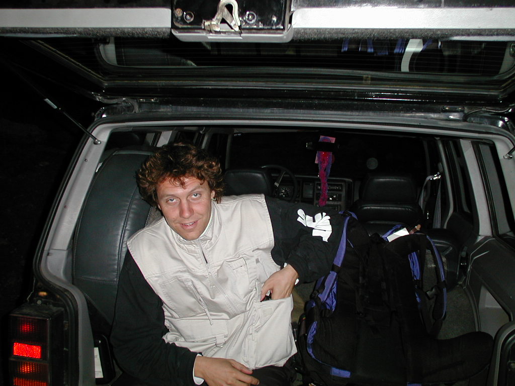
| Sumit reaching the summit | ...on the way down... | Exhaustion back at the trailhead | The sun setting | Back at the car | |