A 4-day hike (appr. 40 miles) in the backcountry of Kings Canyon National Park. For the trip, we started at Road's End in the Cedar Grove area where we parked the cars. We started off to the East, along Bubbs Creek and the turned South, going up to Avalanche Pass at 10,040 feet (3060m). Passing the Roaring River ranger station at 7,400 feet (2256m) we eventually returned to the Cedar Grove area via Lookout Peak (8532ft/2600m) and Don Cecil trail.
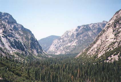
Starting point was Road's End in the
Cedar Grove area of the park.
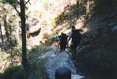
|
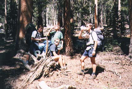
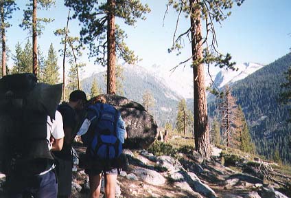
On our way up to Avalanche Pass... |
|
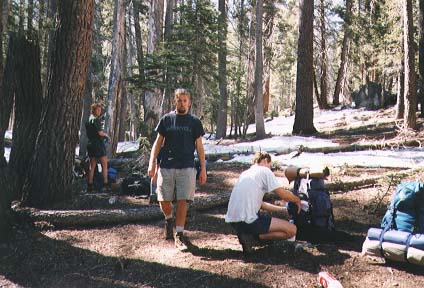
First camp at appr. 7000 feet elevation.
Already some patches of snow.
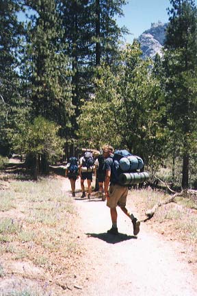
And on the next day, packing our stuff...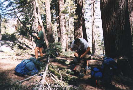 |
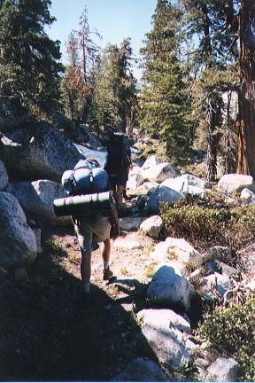 ... to continue on the way up. |
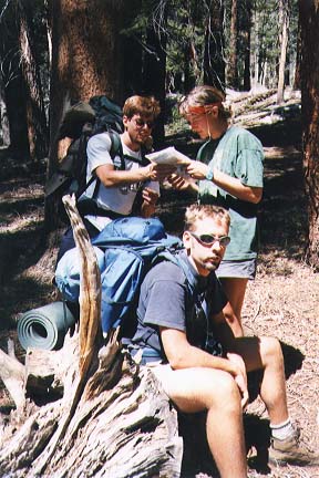
Some break right after Avalanche Pass at 10,000 feet.
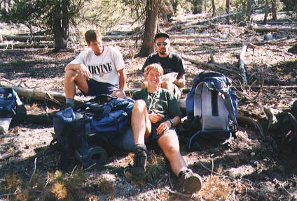
Jakob is happy with his munchy bag full of M&M's
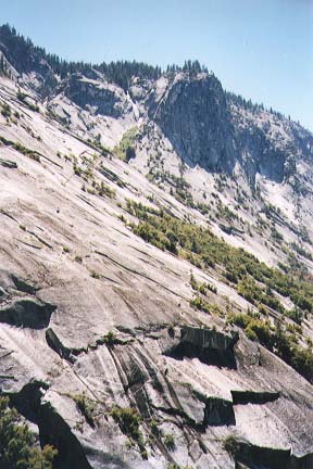
(after crossing the area where the gods played Mikado).
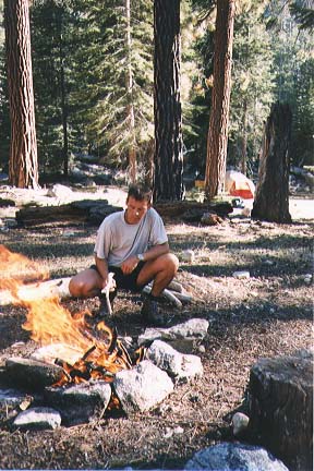
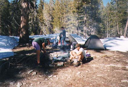
Carsten preparing the fire at camp 2
(near a Ranger station back at 7,500 feet).
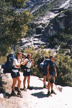
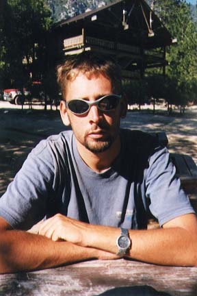
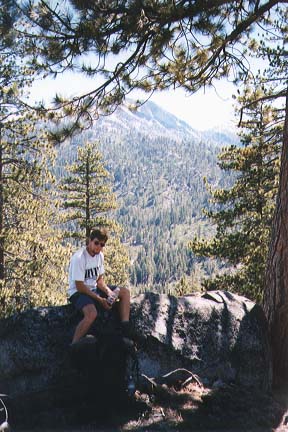 Hakan in front of the mountains we crossed (sort of). |
Exhaustion in Carsten's face... 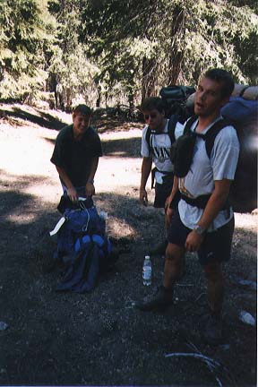 |
Camp 3 back in the snow somewhere at maybe 9000 feet.
 |
On the way... | 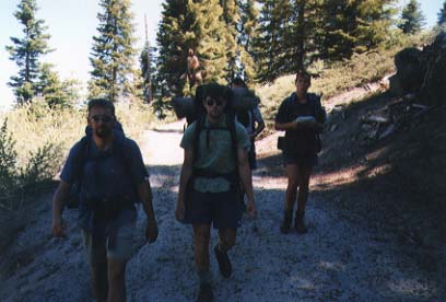 |
Final descent on the
Don Cecil Trail
(from Lookout Peak back to Cedar Grove).
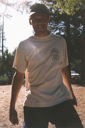
Finally, beer!
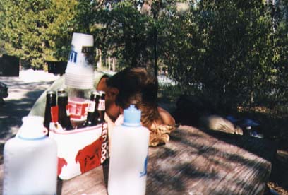
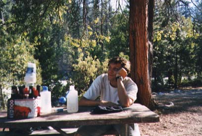
People are kind of tired...